Researching Flood Hazards and Diffuse Pollution
I am a Professor in the Department of Geography at Durham University, UK. As a catchment hydrologist, I work across flood hazards and diffuse pollution in temperate, tropical and mountain environments. My research integrates analysis and simulation modelling with novel field measurements to enable new insights into catchment hydrological functioning and new approaches to managing the environment. Most recently, new field data has included working collaboratively to build the most detailed water quality time series from a grassland agricultural system, a new hydro-meteorological monitoring network and extensive mapping of flood impacts and river form using photogrammetry. This information is used to address scientific questions of:
- How do the landscape and weather affect diffuse pollution of sediment and nutrients?
- How does the spatial and temporal structure of rainfall affect flood hazard generation?
- How can floods and diffuse pollution be reduced by working at the landscape scale with nature-based solutions and natural flood risk management?
- How does hydrological connectivity affect flood generation and diffuse pollution at the landscape scale?
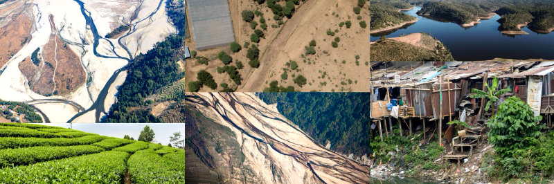
I am working in Nepal on modelling how flood hazards may change under projected climate change and how the results can link to innovative insurance products. Within the UK, I am working on how the SCIMAP toolset can be expanded to consider flood hazards as well as sediments, nutrients and microbial pollution and on the ECOMIX project that is investigating the impact of pollutants on in stream ecology. On this project, I lead the work on the potential impacts of climate and land use change on the river flows and nutrients export. I often co-development research questions and approaches with stakeholders, including Defra, the Environment Agency and River Trusts in the UK. I have developed tools and software that is routinely used for catchment management. The primary tool is the SCIMAP diffuse pollution risk mapping approach that is widely used in the UK and overseas. I have written the CRUM3 fully distributed catchment hydrological model, which is used to assess water resources and natural flood risk management in a series of projects. I have contributed to the ManyFEWS flood forecasting system
I have previously worked in on flood hazards in Java, Indonesia, in collaboration with the Bandung Institute of Technology with the focus of developing an effective hyper-local flood early warning system. I have also worked in Botswana on water resources.