Mapping flood extent in Nepal for the 2017 Monsoon
Rainfall generated flooding is a significant annual problem in the Himalaya, especially in the latter stages of monsoon season. To reduce the impacts on communities we normally apply hydrological and hydraulic simulation models and analysis to test a range of mitigation scenarios. For these tools to work, we need detailed datasets on the flood flows, floodplain topography and the inundated extent within the floodplain areas. With this information, it is possible to improve the flood resilience within the communities through the use of catchment management methods including slowing and storing water flow in the headwaters of the catchment. After significant flood events, such as the summer 2017 monsoon floods, there is abundant, but short-lived, geomorphic evidence about the maximum river stage and flood extents. This work aims to capture the spatial pattern of peak flood water from the Aug 2017 flooding in Nepal for the East Rapti catchment.
Phase One: Extensive Survey
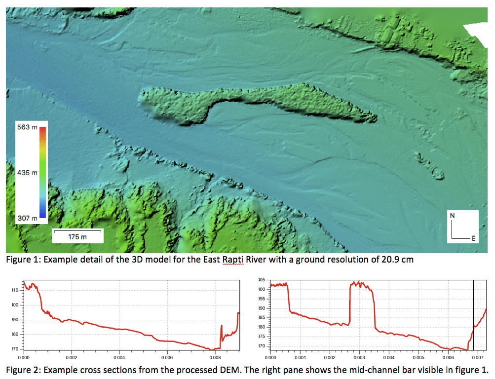
In January 2018 an extensive survey was undertaken by helicopter along 100km of the East Rapti River. The survey information will be used to build a detailed 3D model of the river channel system with the primary aim of the measuring flood extents to inform the SCIMAP-Flood water source area analysis system. The model will also enable the use of 2D hydraulic flood models to predict areas at risk in high magnitude events. The initial processing of the dataset is shown in the figure below. This 3D model and the estimates of discharge need to be tested again on the ground measurements, which is happening in phase two of this project. 
Phase Two: May 2018
The second phase of the fieldwork took place in May 2018 and will had two objectives: firstly, to collect detailed dGPS ground control points to enable the 3D model to be tested and aligned to the Nepal mapping grid. Second, the fieldwork will measure the current river flow and the cross sections to the summer flood extent at 20-30 locations along the river system. This information will be used to build local and detailed hydraulic models for the river flow and the flow estimates will then calibrate and test SCIMAP-Flood. The SCIMAP-Flood risk mapping approach will identify where in the catchment is most important to manage to reduce flood with used working with natural processes approaches.
